

 How to shop
Delivery
Shopping guide
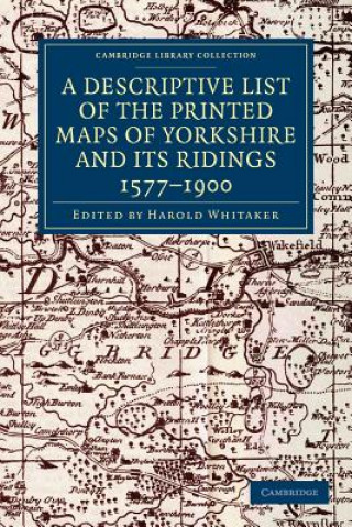
Descriptive List of the Printed Maps of Yorkshire and its Ridings, 1577-1900
 English
 132 b
132 b
30-day return policy
You might also be interested in


 /
Paperback
/
Paperback
 332
Kč
332
Kč


Originally founded in 1863 to promote interest in the history and archaeology of the Huddersfield area, the Yorkshire Archaeological Society expanded its purview in 1870 to cover the whole of Yorkshire. In 1884 it began publishing its Record Series, which aimed to make historical information available through the reprinting of original documents, diaries, letters, and charters. First published in 1933 and reprinted for the society in 1971, this well-illustrated work is an extensive catalogue of maps of the Yorkshire area, drawn between 1577 and 1900. The editor's introduction sets the maps within the history of cartography in Britain, and in the context of pioneering work by previous cartographers. The entries give a description of what each map depicts, along with information on dates and dimensions. This work remains a valuable resource for local historians and geographers.
About the book
English
Categories
