Free delivery for purchases over 1 299 Kč
PPL Parcel Shop 54 Kč
Czech Post 74 Kč
Balíkovna 49 Kč
GLS point 54 Kč
Zásilkovna 44 Kč
GLS courier 74 Kč
PPL courier 99 Kč

Help
Delivery
PPL Parcel Shop 54 Kč
Czech Post 74 Kč
Balíkovna 49 Kč
GLS point 54 Kč
Zásilkovna 44 Kč
GLS courier 74 Kč
PPL courier 99 Kč
Free delivery for purchases over 1 299 Kč
Shopping guide
We’re here for you!
571 999 090
My account
Become part of a community of book lovers from all over the world and get access to a whole bunch of benefits.
Create an account for free
▸
Empty :-(
0
Gift tips
 Gifts for women
 Gifts for men
 Gifts for girls
 Gifts for boys
 Gifts for children
 Gift voucher
any value
Gift voucher


Doesn't suit? No problem! You can return within 30 days
 Gift voucher
any value
You won't go wrong with a gift voucher. The gift recipient can choose anything from our offer.
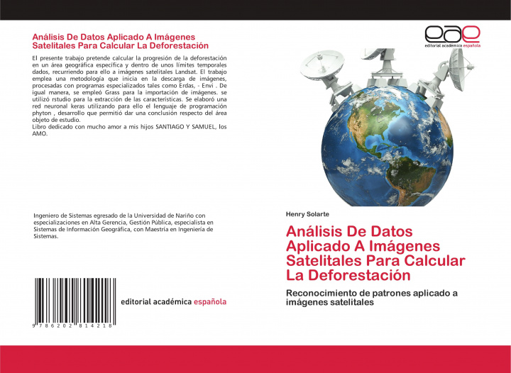
Analisis De Datos Aplicado A Imagenes Satelitales Para Calcular La Deforestacion
Language
 Spanish
 Spanish
Book
Paperback
Libristo code: 36730646
?
 113 b
113 b
 113 b
113 b
1 127
Kč
včetně DPH
In stock at our supplier
Shipping in 15-20 days
30-day return policy
You might also be interested in
About the book
Full name
Analisis De Datos Aplicado A Imagenes Satelitales Para Calcular La Deforestacion
Language
 Spanish
 Spanish
Binding
Book - Paperback
Date of issue
2020
Number of pages
84
EAN
9786202814218
ISBN
6202814217
Libristo code
36730646
Publishers
Editorial Academica Espanola
Weight
136
Dimensions
152 x 229 x 5


 How to shop


