Doručení
Nákupní rádce


Nehodí se? Vůbec nevadí! U nás můžete do 30 dní vrátit
 Dárkový poukaz
V libovolné hodnotě
S dárkovým poukazem nešlápnete vedle. Obdarovaný si za dárkový poukaz může vybrat cokoliv z naší nabídky.
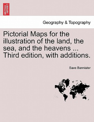
Pictorial Maps for the Illustration of the Land, the Sea, and the Heavens ... Third Edition, with Additions.
 Angličtina
 38 b
38 b
30 dní na vrácení zboží
Mohlo by vás také zajímat


bTitle:/b Pictorial Maps for the illustration of the land, the sea, and the heavens ... Third edition, with additions.br/br/bPublisher:/b British Library, Historical Print Editionsbr/br/The British Library is the national library of the United Kingdom. It is one of the world's largest research libraries holding over 150 million items in all known languages and formats: books, journals, newspapers, sound recordings, patents, maps, stamps, prints and much more. Its collections include around 14 million books, along with substantial additional collections of manuscripts and historical items dating back as far as 300 BC.br/br/The GEOGRAPHY & TOPOGRAPHY collection includes books from the British Library digitised by Microsoft. Offering some insights into the study and mapping of the natural world, this collection includes texts on Babylon, the geographies of China, and the medieval Islamic world. Also included are regional geographies and volumes on environmental determinism, topographical analyses of England, China, ancient Jerusalem, and significant tracts of North America. br/br/++++br/The below data was compiled from various identification fields in the bibliographic record of this title. This data is provided as an additional tool in helping to insure edition identification:br/++++br/br/b
Informace o knize
 Angličtina


 Jak nakupovat


