Doručení
Nákupní rádce


Nehodí se? Vůbec nevadí! U nás můžete do 30 dní vrátit
 Dárkový poukaz
V libovolné hodnotě
S dárkovým poukazem nešlápnete vedle. Obdarovaný si za dárkový poukaz může vybrat cokoliv z naší nabídky.
Geomorphometry
 Angličtina
 284 b
284 b
30 dní na vrácení zboží
Mohlo by vás také zajímat


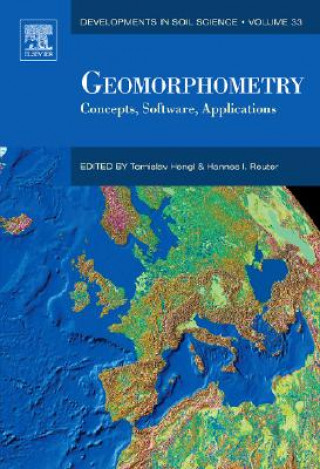
Geomorphometry is the science of quantitative land-surface analysis. It draws upon mathematical, statistical, and image-processing techniques to quantify the shape of earth's topography at various spatial scales. The focus of geomorphometry is the calculation of surface-form measures (land-surface parameters) and features (objects), which may be used to improve the mapping and modelling of landforms to assist in the evaluation of soils, vegetation, land use, natural hazards, and other information. This book provides a practical guide to preparing Digital Elevation Models (DEM) for analysis and extracting land-surface parameters and objects from DEMs through a variety of software.It further offers detailed instructions on applying parameters and objects in soil, agricultural, environmental and earth sciences. This is a manual of state-of-the-art methods to serve the various researchers who use geomorphometry. Soil scientists will use this book to further learn the methods for classifying and measuring the chemical, biological, and fertility properties of soils and gain a further understaing of the role of soil as a natural resource. Geologists will find value in the instruction this book provides for measuring the physical features of the soil such as elevation, porosity, and structure which geologists use to predict natural disasters such as earthquakes, volcanoes, and flooding.Technical details on a variety of software packages allow researchers to solve real-life mapping issues. This book provides soil and agronomy researchers best practice techniques for soil data analysis to assist in enhanced land-use and planning. It offers geologists essential tactics for better environmental management by providing a comprehensive analysis of the physical features of soil. The companion website includes access to the latest technological advancements previously unpublished in any other comprehensive source: geomorphometry software, DEM data sources, and applications.
Informace o knize
 Angličtina


 Jak nakupovat


