

 Jak nakupovat
Doručení
Nákupní rádce
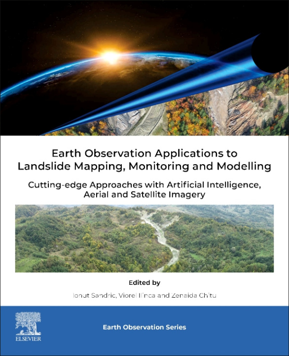
Earth Observation Applications to Landslide Mapping and Monitoring
 Angličtina
 441 b
441 b
 Připravujeme
 Termín neznámý
30 dní na vrácení zboží
Mohlo by vás také zajímat


Earth Observation Applications to Landslide Mapping and Monitoring: Cutting-Edge Approaches with Machine Learning, Aerial and Satellite Imagery is focused on the applications of drone and satellite imagery for mapping landslides. Topics covered include the use of ultra-high aerial imagery, obtained with drones, for mapping and predicting landslide activity (like runoff, volume displacement, exposure to risk, etc.). Subjects related to EO data assimilations into landslide hazard prediction models are also included. The primary aim of this book is to advance the scientific understanding and application of technologies to address a variety of fields related to landslide mapping and monitoring for a robust and sustainable development. Because of the intensification of the catastrophic events in the last 20 years, landslide monitoring gained considerable interest from the geoscience community. Earth Observation Applications to Landslide Mapping and Monitoring: Cutting-Edge Approaches with Machine Learning, Aerial and Satellite Imagery book will be beneficial for the postgraduates, PhD research scholars, professors and scientists, geospatial experts, modelers, oceanography scientists and conservation communities, environmental consultants, big data compilers, and computing experts. Covers the latest trends in algorithms for the observation and mapping of landslides Features clear and detailed case studies and methods that can be easily reproduced and implemented in landslide monitoring systems Includes detailed methods for the application of research to the observation and mapping of landslides
Informace o knize
Angličtina
Kategorie
