Doprava zdarma se Zásilkovnou nad 1 499 Kč
PPL Parcel Shop 54 Balík do ruky 74 Balíkovna 49 GLS 54 Kurýr GLS 74 Zásilkovna 49 PPL 99

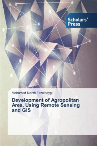
Development of Agropolitan Area, Using Remote Sensing and GIS

Jazyk AngličtinaAngličtina
Kniha Brožovaná
Kniha Development of Agropolitan Area, Using Remote Sensing and GIS Fazelbeygi Mohamad Mehdi
Libristo kód: 09035303
Nakladatelství Scholars' Press, září 2014
The inter-regional development in India has been characterized by imbalances in the rural-urban link... Celý popis
? points 249 b
2 491 včetně DPH
Skladem u dodavatele Odesíláme za 15-20 dnů

30 dní na vrácení zboží


Mohlo by vás také zajímat


TOP
Cambridge Little Steps Level 1 Activity Book Gabriela Zapiain / Brožovaná
common.buy 779
TOP
Desperation Stephen King / Brožovaná
common.buy 303
TOP
Harry Potter Boxed Set: The Complete Collection Joanne Kathleen Rowling / Brožovaná
common.buy 1 753
TOP
Cracking the PM Interview Jackie Bavaro / Brožovaná
common.buy 822
TOP Výprodej
Dispelling Wetiko Paul Levy / Brožovaná
common.buy 383
SPQR - A History of Ancient Rome Mary Beard / Pevná
common.buy 742
Halo: Last Light Troy Denning / Brožovaná
common.buy 232
Fishes of the World 5e Joseph S. Nelson / Pevná
common.buy 4 153
Připravujeme
Christmas Magic Painting Book Fiona Watt / Brožovaná
common.buy 183
Kokoro Natsume Soseki / Brožovaná
common.buy 291
Připravujeme
Athanasius Kircher's Theatre of the World Joscelyn Godwin / Brožovaná
common.buy 862
Colour Atlas of Falcon Medicine Ulrich Wernery / Pevná
common.buy 2 228
Bear Called Paddington Michael Bond / Audio CD
common.buy 227

The inter-regional development in India has been characterized by imbalances in the rural-urban linkages. This researh focuses on the development of agropolitan that is agricultural-based small urban areas in rural regions with the aim of sustainable regional development. Agropolitan area is an area with agriculture activities which has urban facilities in it. The agropolitan development focuses on organized agricultural commodity in rural areas by developing derivative products of the primary agricultural commodity to be marketed outside the area and increasing human resource capabilities. The present research work is emphasizing the power of GIS and remote sensing which will cause to development of agropolitan modelling.

Informace o knize

Plný název Development of Agropolitan Area, Using Remote Sensing and GIS
Jazyk Angličtina
Vazba Kniha - Brožovaná
Datum vydání 2014
Počet stran 240
EAN 9783639665055
ISBN 3639665058
Libristo kód 09035303
Nakladatelství Scholars' Press
Váha 358
Rozměry 152 x 229 x 14
Darujte tuto knihu ještě dnes
Je to snadné
1 Přidejte knihu do košíku a zvolte doručit jako dárek 2 Obratem vám zašleme poukaz 3 Kniha dorazí na adresu obdarovaného

Přihlášení

Přihlaste se ke svému účtu. Ještě nemáte Libristo účet? Vytvořte si ho nyní!

 
povinné
povinné

Nemáte účet? Získejte výhody Libristo účtu!

Díky Libristo účtu budete mít vše pod kontrolou.

Vytvořit Libristo účet