Doručení
Nákupní rádce


Nehodí se? Vůbec nevadí! U nás můžete do 30 dní vrátit
 Dárkový poukaz
V libovolné hodnotě
S dárkovým poukazem nešlápnete vedle. Obdarovaný si za dárkový poukaz může vybrat cokoliv z naší nabídky.
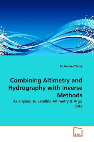
Combining Altimetry and Hydrography with Inverse Methods
 Angličtina
 171 b
171 b
30 dní na vrácení zboží
Mohlo by vás také zajímat


A generalization of the Bernoulli inverse method, which produces an estimate of Sea Surface Height (SSH) across the region of interest rather than simply at station positions. Real-time float observations and satellite altimetry measurements are used to map a sea surface elevation to study the large-scale ocean circulation in the North Atlantic. The inverse is applied to simulated Argo floats and satellite altimetry tracks in the Ocean Circulation and climate model (OCCAM). The inverse method predicts the SSH by finding geostrophic streamlines along which the Bernoulli function is conserved. These streamlines are defined where modified potential temperature and salinity are conserved. This predicted SSH is combined with that measured by the satellite altimetry. The revised method uses linear regression to give a surface solution for the region rather than solving the function at fixed positions, hence increasing the resolution of the problem. Results are presented of a comparison study where real-time Argo and satellite altimetry have been used in combination with OCCAM to see how robust the solutions are for the North Atlantic.
Informace o knize
 Angličtina


 Jak nakupovat


